Drones for wildlife conservation
One of the biggest challenge in protected area management has been inaccessibility. While systematic surveillance of wildlife is essential for long-term conservation management, this monitoring has been largely limited to ground-based patrolling and surveys. However, even these prove inadequate when responding to emergencies like forest fires and human-wildlife conflicts. Drones offer a faster, safer and efficient solution.
Unmanned aerial vehicles (UAVs), or drones, are not only being used to monitoring species’ population and home range, but additionally usher a new way of managing different wildlife conservation issues. Drones offer a bird-eye view to monitor remote and inaccessible landscapes and ease the situation of wildlife management. This aerial surveillance technology is being used worldwide to help in landscape monitoring, wildlife population estimations, countering poaching and addressing human wildlife conflicts.
At Wildlife Trust of India (WTI), we have been introducing drone technology to parks across the country as a conservation solution.
Similipal Tiger Reserve, Odisha
Located in the northern part of Odisha’s Mayurbhanj district, Similipal Tiger Reserve (STR) is home to the highest number of tigers (Panthera tigris) in the state apart from over 54 other species of mammals, 304 species of birds, 60 species of reptiles, 21 species of frogs, 38 species of fish, etc. It is studded with deep gorges, peaks and wide valleys with an arterial network of perennial streams. Due to extensive landscapes, inaccessible terrains and remote areas, frontline forest staff face a major challenge in monitoring and keep an eye on illegal activities inside the reserve.
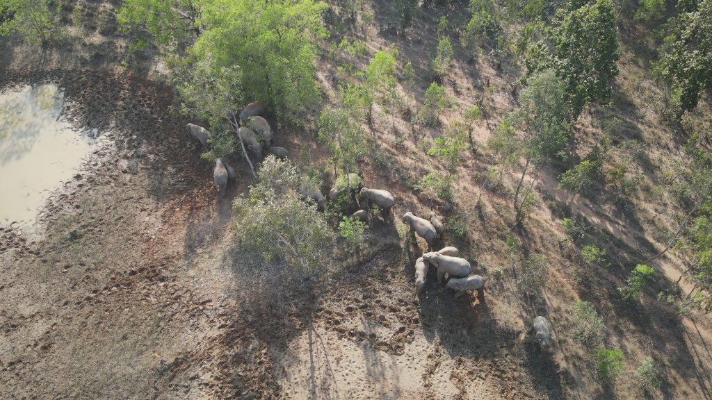
Drone capturing a wild elephant herd in Keonjhar, Odisha | Photograph by Rudra P. Mahapatra
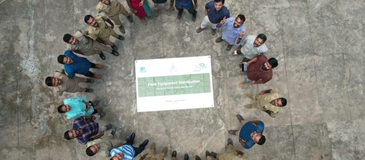
Considering this, for the first time in STR, WTI provided a quadcopter to the forest department under our Rapid Action Project (RAP), to improve the surveillance capabilities. The drone has already proved its effectiveness in monitoring the movement of elephants in Baripada division. In one case, it helped spot a dead elephant calf and provided an aerial support to the staff approaching the carcass by informing about the presence of other elephants and carnivores nearby. The drone is also being used in monitoring meadows, mining and encroachment activities in and around Similipal, anti-poaching and anti-depredation drives, rehabilitation and relocation work at the relocated villages from Similipal and plantation surveys in Karanjia. Anandapur and Baripada divisions of STR.
Silent Valley National Park, Kerala
The Silent Valley National Park, located in Kerala’s Palakkad district, is a biodiverse area that is home to several rare and endangered species such as the Lion-Tailed Macaque (Macaca silenus), Malabar Giant Squirrel (Ratufa indica), and Nilgiri Langur (Trachypithecus johnii). The park also has a large elephant population.
The park has however been ravaged by forest fires in recent years. Most of these fires are a result of human activity – fireworks during festival and religious rituals, stubble burning, and cooking inside forest areas.
To combat forest fires in the Silent Valley National Park, WTI sanctioned a RAP in the year 2020-2021 to train and equip the patrolling staff with a drone. This was for the first time that Kerala Forest Department used a drone for monitoring forest fires. The drone has helped detect forest fires in six different locations in the fire season that year.
The forest department has also used the drone in forest fire data collection, monitoring hot spots, and evaluating the efficacy of fire suppression activities. These drones are also equipped with thermal imaging cameras to detect hot spots and areas of tremendous heat, allowing patrolling staff to pinpoint places where fires are likely to develop. This data has been helpful to send firefighting squad to locations where they are most required, thereby preventing fires from spreading. Further, drones flown over an area after a fire has been extinguished has helped obtain data on the extent of the damage.
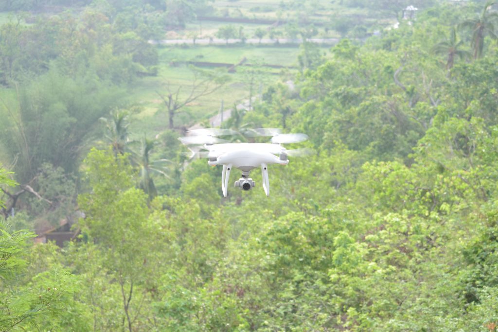
Drone for protected area monitoring | Photograph by Rudra P. Mahapatra
Wayanad Wildlife Sanctuary, Kerala
In Wayanad, drones have similarly been helping counter human-wildlife conflict. The sanctuary is home to around 180 tigers which are spread over an area of 756 square kilometers. In the last few months, between 20 and 30 conflict situations were recorded by the Forest Department where tigers have entered human-dominated areas. WTI’s RAP not only assisted the forest department with vital equipment including helmets, shields and body protectors but also a drone to monitor the animal’s movement. Since the support, the team has successfully attended to three conflict cases and two tigers were rescued from a village.
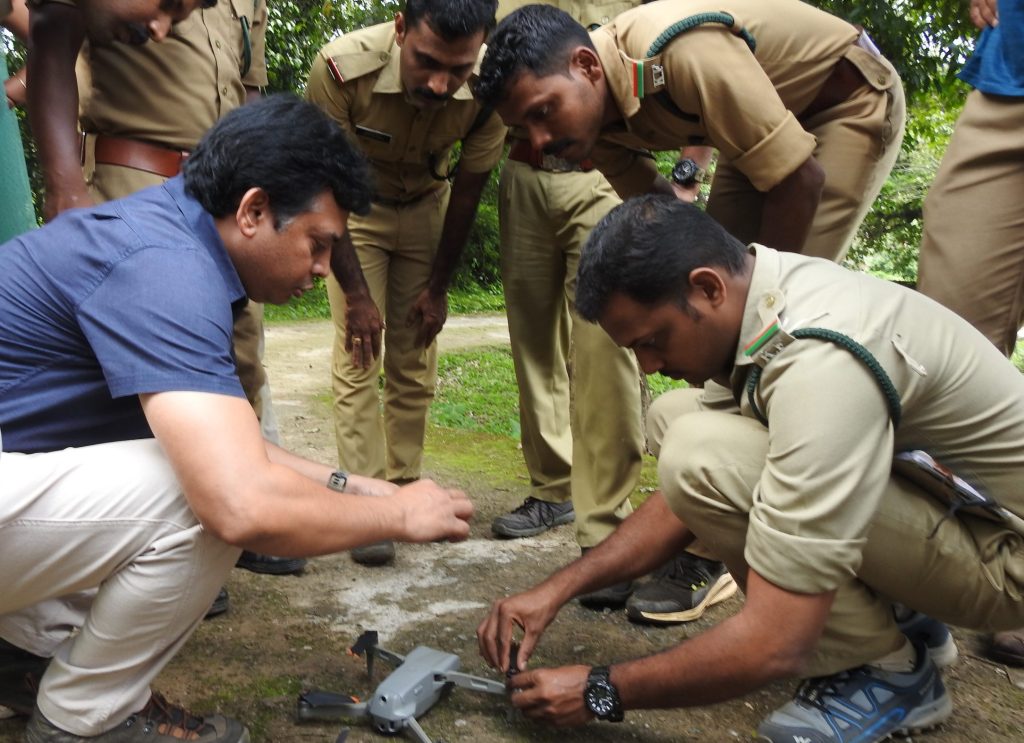
Rudra P Mahapatra from WTI explaining on drone technology for protected area surveillance
Following up to the drone handover, Wildlife Trust of India also conducted a one-day workshop more recently on the use of drone for protected area management. More than 20 participants from Wayanad Wildlife Sanctuary, South Wayanad Division, North Wayanad Division and Aralam Division Kerala Forest Department attended the workshop at Gajah Inspection Bungalow, Sulthans Bathery. Sessions were conducted by Rudra Prasanna Mahapatra from WTI, Vishnu O (Conservation Biologist, Wayanad Wildlife Sanctuary) and Shimon Francis (professional drone operator).
Drones with high-resolution cameras take photographs and videos of animals, which can be used to monitor populations, track migration patterns, and highlight movement hotspots. This data can assist conservationists in making educated decisions on safeguarding fragile species and their habitats.
Know more about WTI’s Rapid Action Project here.

